
Example project 01
Cellarhead BESS.
A connected model view.
A supplied example of browser-based construction coordination, line-based survey reporting and QC model views. BESS is one application of a wider civil-engineering service.
Capabilities below follow the supplied report dated 18 September 2026. The external viewer is a separate application.
Project showcase
Watch the supplied project filmProject visualisation, not an approved construction instruction. No verified caption track was supplied; the report and descriptions below provide a text-based overview. Download the film.
Supplied model captures
Inspect the detail.
Open any image at full size.
Source warnings remain visible in the captures.
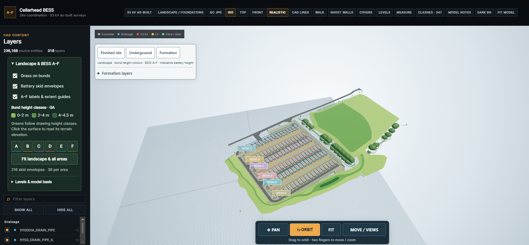
Areas A–F, access infrastructure and landscape context in the supplied model capture.
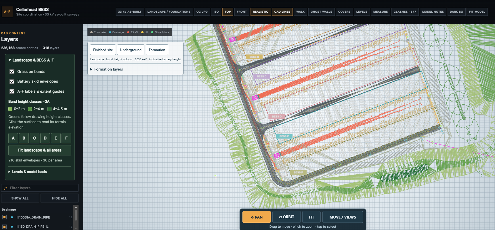
A plan view of coordinated source linework and the layer controls.
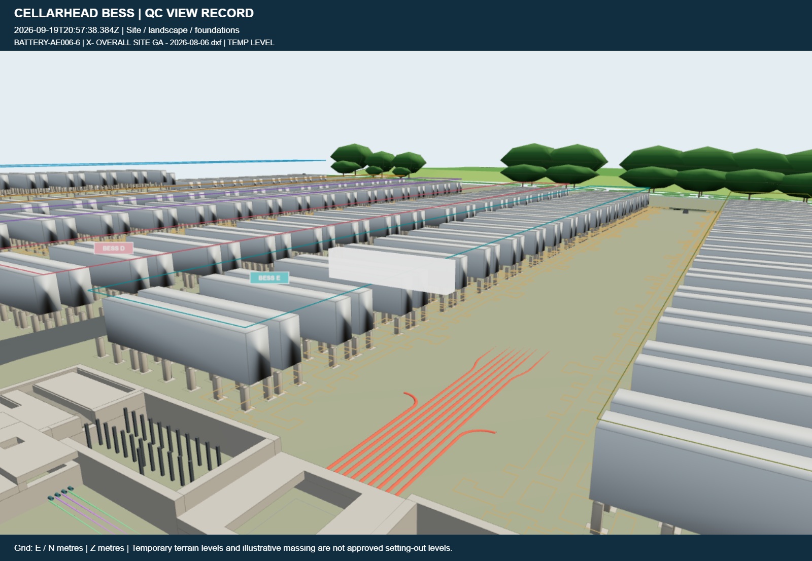
The exported image retains its timestamp, source context and temporary-level warning.
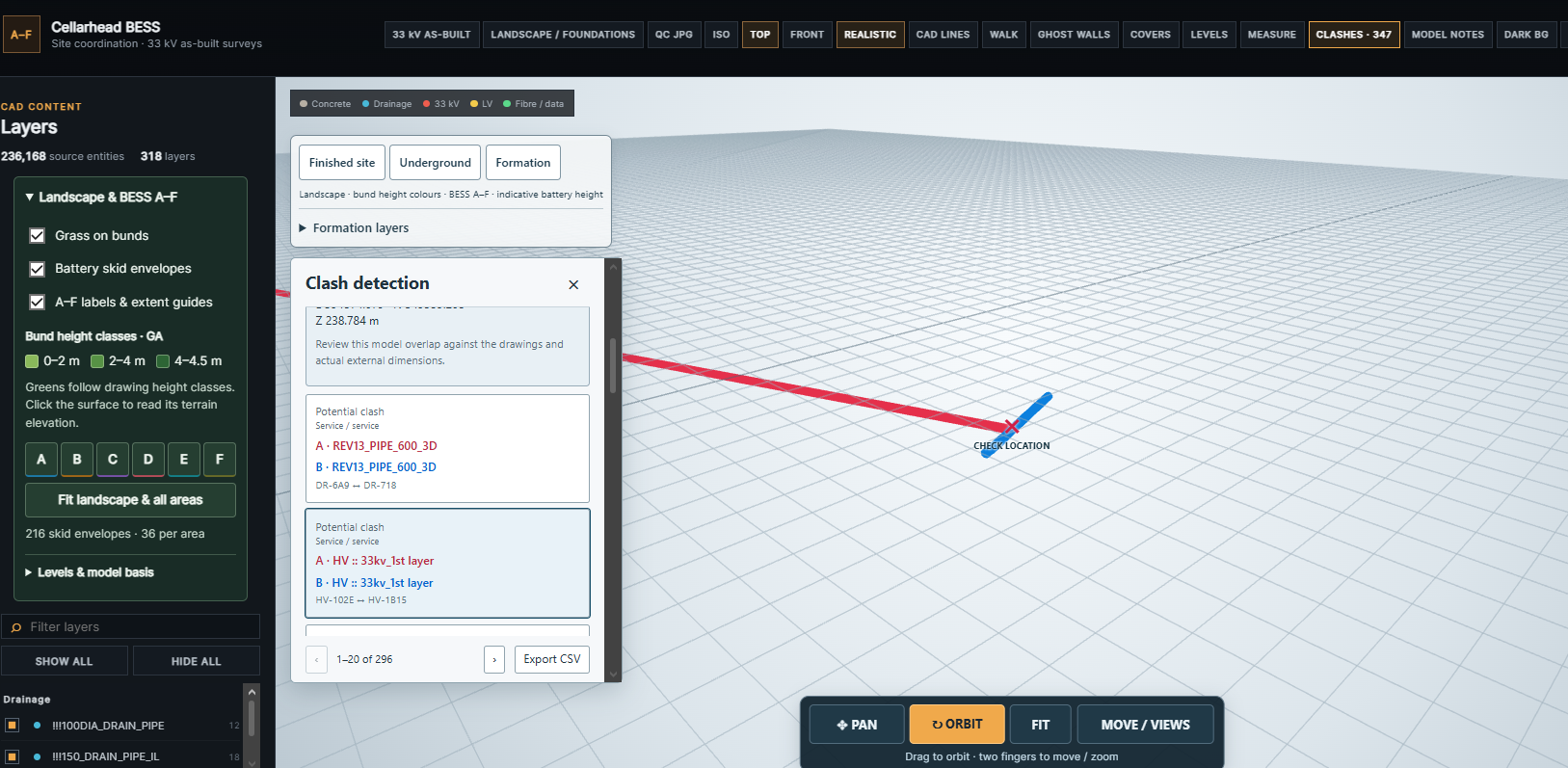
Geometric conflicts flagged for review against the drawings and actual external dimensions.
Additional supplied captures
Evidence-led description
Current capabilities.
Clear boundaries.
Current and proposed functions are kept separate, as in the source report.
See the capability matrix · page 2 ↗- Pan, orbit, walk, levels, source selection and layer visibility.
- Dated as-built line filters and straight, bend and spline schedules.
- Provisional same-tier XY design-coverage comparison and weekly increments.
- Measured-line CSV, printable QS reporting and dated QC JPG views.
- Geometric clash checks, measurements and source-linked site context.
Proposed development — not implemented
Surface-to-surface volume analysis, expanded deviation workflows, planning and resources, TQ/NCR and inspection registers, permit-readiness support, Windows integration and controlled multi-user revision history remain proposed modules in the supplied report.
Development sequence · page 23 ↗Survey coverage is not approved physical completion. QC JPGs are not signed inspection records. Temporary terrain levels and illustrative massing are not approved setting-out or valuation data. Clash flags require review; the model does not authorise excavation.
Source: supplied Capability Report, pages 2–5, 13–17 and 21–24. DXF/XML deliverable services described elsewhere on this website are separate from the viewer functions documented here.